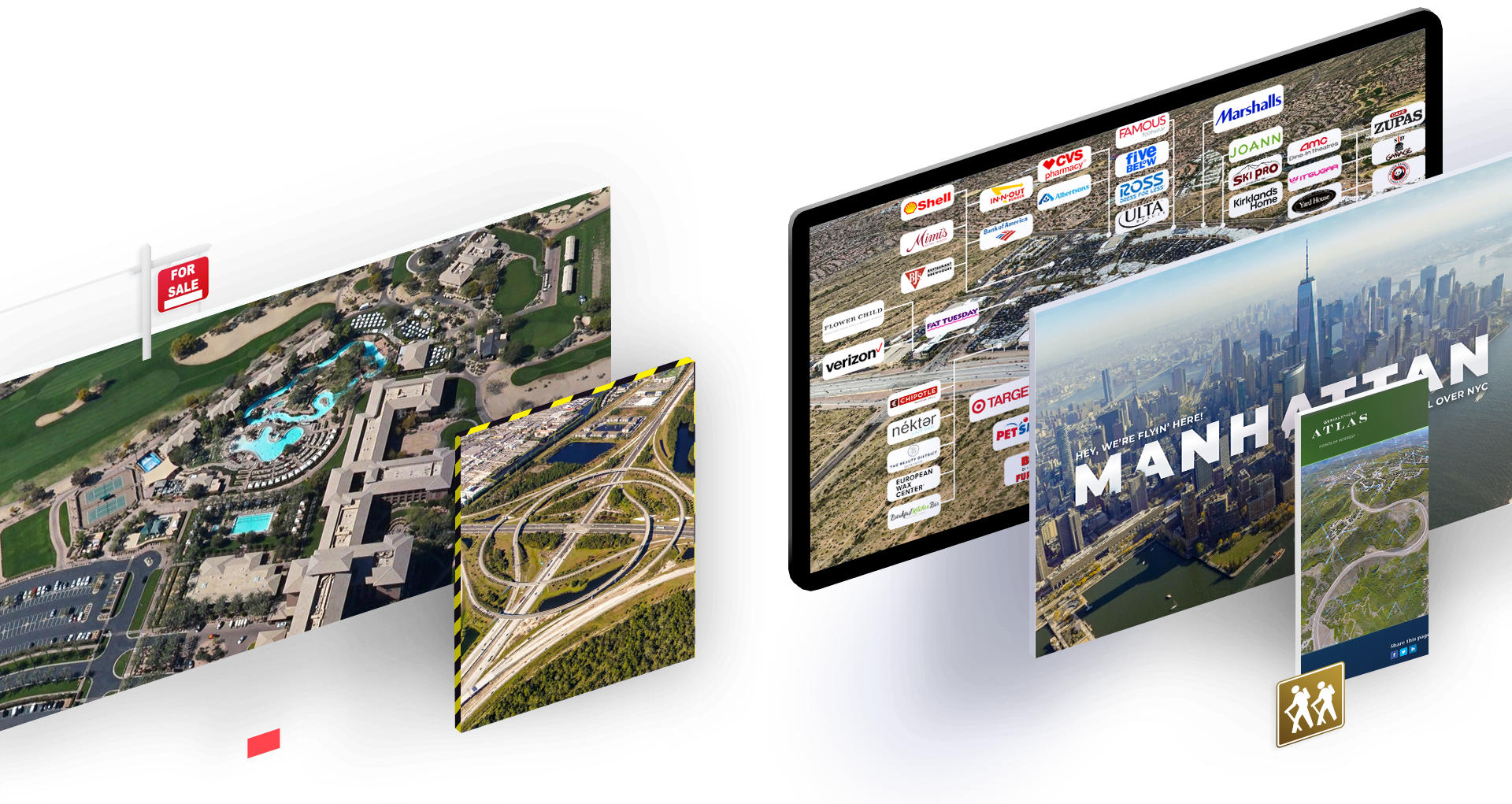
An invaluable national resource for marketing, social media, and real estate.
Frame and snap your own instant aerial photographs from a library of more than 70,000 panoramic images across the United States.

HOW IT WORKS
Zwivel Was Built For
Commercial
Get instant, real imagery of your commercial properties to add to marketing brochures, handouts, or your website.
Retail
Retailers use Google Maps every day to showcase properties. Zwivel’s imagery is on another level (literally).
Development
Get insights on what’s around your development projects or use our imagery to plan for your upcoming development.
Residential
Take stunning photos of the area surrounding your listing. Great to showcase golf, lake, or any other community.
Questions? Check Out
Our FAQS
What We’re Made Of


How we’re different
The imagery you’ve been seeking.
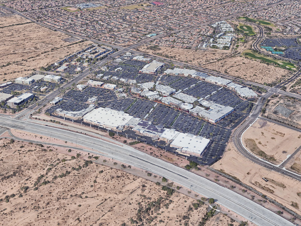
3D polygon representations are cute, but when your business or product requires any amount of detail in your imagery, there is no substitute for the real thing.
See for yourself. Compare the model from Google Earth on the left to AerialSphere’s image on the right.


Zwivel Scene View
Easy-to-use interface.
Built with simplicity in mind, our intuitive interface makes it a snap to get started. Explore the country and find amazing images to use for your business. Use the “Favorites” feature to save your best views and return to them with just a click.

Zwivel Scene View
Easy-to-use interface.
Built with simplicity in mind, our intuitive interface makes it a snap to get started. Explore the country and find amazing images to use for your business. Use the “Favorites” feature to save your best views and return to them with just a click.


Simple to Start
Begin browsing in seconds.
Simply type in any address or location name, and our technology will bring you straight to that property and mark it. Take as many images as you’d like in a matter of minutes. Then use them how you like.
Simple to Start
Begin browsing in seconds.
Simply type in any address and our technology will bring you straight to that property and mark it. Take as many images as you’d like in a matter of minutes. Then use them how you like.

A game-changing marketing tool
Create stunning
marketing pieces.
Once you capture your image, enhance it with any photo editing software to unlock its full potential. Highlight your property, nearby schools, parks, or retail areas to give your clients a fresh perspective on your real estate offering.

A powerful marketing tool
Create stunning
marketing pieces.
Once you capture your image, take it into any photo editing software to take it to the next level. Label your property, nearby schools, parks, or retail areas to give your clients a new look at your property.

Affordable Pricing
For less than the cost of single drone flight, you can have access to 70,000+ stunning, real-world, 360° images from all over the country, and you control the camera.
Zwivel Basic
Zwivel Basic is an essential resource for individual realtors and agents.- Capture images with SnapshotHD
- 70,000 image locations across the US
- Save your favorite locations
- Share your screen and take clients on virtual tours
Zwivel Pro
Are you a creative marketing team looking to use our imagery in your work? Select Zwivel Pro, and you'll have royalty free access to all the images you capture.- Capture images with SnapshotHD
- 70,000 image locations across the US
- Save your favorite locations
- Share your screen and take clients on virtual tours
- Re-seller Licensing
- Support for multiple users
Zwivel Tours
We create personalized 360° virtual aerial tours designed specifically for you.- Interactive 360° Digital Tour
- Built to your specs
- Unique and engaging
- Perfect for websites
- Select from our imagery catalog
- OR we can help you source your own 360° for your project